
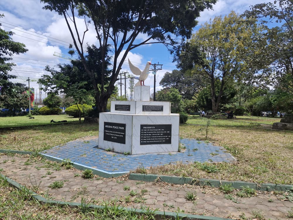
Mapping and Perceptions of Park Use in Arusha
Mapping Arusha's parks and documenting how residents use them, establishing the city's first baseline for public open space provision.
- Status
- Completed
- Location
- Arusha, Tanzania
- Programme
- Liveable Cities
Arusha had no consolidated picture of its public parks: what existed, where, in what state, or whether residents used them at all.
UPC mapped the city's parks and open spaces and combined that with residents' own accounts of using them, covering who visits, what keeps others away and what people want from a park close to home. The result gives the city a baseline for open space provision, and it underpins our later work on park improvement and the case for a city-wide open space management policy.
Ask us about this work
We can share the methods, instruments and findings behind it.
+255 784 210 415admin@upc.or.tzFrom the project
Related projects



Looking for a research partner in Tanzania?
We take on work from study design through to delivery, across Tanzania Mainland and Zanzibar.